3D Laser scanning is a method to gather quickly reliable
detailed information of objects such as buildings, infrastructure
and industrial facilities. For various reasons the demand for 3D
laser scanning is increasing.
Quick and complete
A big advantage is that in a short time a lot of points with
very high accuracy can be measured and stored and that for even the
smallest details of the scanned objects. Places which are difficult
to reach can also be measured using this technique. Scanning causes
little or no disturbance to the surrounding area.
The collected data can be used to visualize the existing
situation. This can be done in several ways: by looking at the
point cloud, by making plans based on the point cloud (in 2D or 3D)
or by modeling the point cloud. In case an extra measurement is
needed afterwards, this measurement can be done in the point cloud.
It is not necessary to go back to the terrain.
Visualization and communication
New designs can be placed in the 3D point cloud or in the 3D CAD
model of the existing environment. The 3D visualization makes it
easier to consider different options and makes communication easier
between the various parties involved, which leads much faster to
consensus.
Safety
Scanning activities can be performed from a safe distance. By
studying the 3D model in advance people do not have to enter or
trespass dangerous environments for longer than necessary.
Accuracy
Nowadays, the current or "as-built" situation is usually set
with traditional tools such as measuring tape, laser distance
meters, total stations, etc. Due to the high degree of accuracy (+
/ -2 mm at 25 m), it is no longer necessary to survey everything,
which is of course a very time-consuming task.
Cost effective
All information can be collected in a brief time. Subsequently
relevant objects can be determined and mapped at the office. In
case some extra objects need to be mapped or modelled, it can be
done in the already collected data. This also reduces traveling
costs.
 3D Laser scanning of the Ezelpoort in Bruges
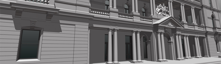 3D model of the customs office in Sydney
 3D Laser scanning off the PALL tunnel
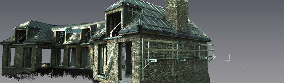 3D Laser scanning of a villa
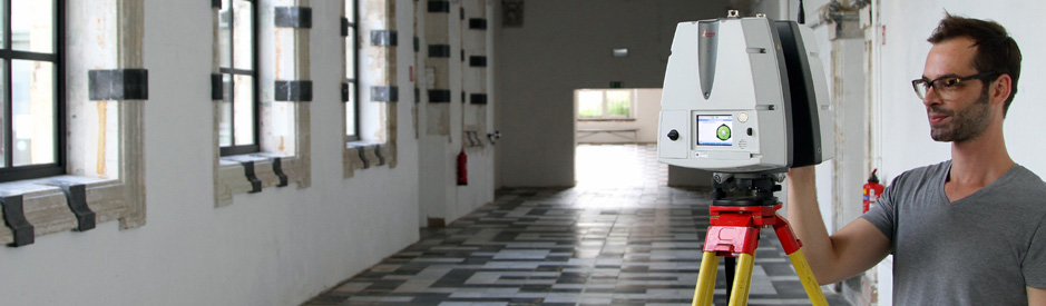 3D laserscanning of an historical building


