3D Laser scanning for surveying applications is a reliable
method to quickly gather detailed information of objects such as
buildings, infrastructure and industrial facilities. With laser
scanners, three-dimensional coordinates are measured from a
distance at a rate of up to 1.000.000 points/second. They scan the
surface of objects automatically, systematically and at high speed
up to a distance of 250 m. The measured points are later processed
into an accurate 3D point cloud of millions of points that displays
the scanned area and serves as basis for the preparation of 2D
plans, 3D models, visualizations and simulations. Simultaneously
collected 360° photos can be used to improve the visualization and
to colorize the points.
 |
How does 3D laser scanning work?
3D Laser scanning is a method of measurement in which an object
or surface is scanned. Each point of the scan will be converted to
a pixel with a known x-, y-, z-and reflectance value (intensity).
The result is a point cloud of millions of points.
Read more
|
 |
Why choose for 3D laser scanning?
3D Laser scanning is a safe method to gather quickly reliable
detailed information of objects such as buildings, infrastructure
and industrial facilities. For various reasons the demand for 3D
laser scanning is increasing.
Read more
|
 |
Who executes 3D laser scanning?
For a reliable and accurate result it is important that the 3D
laser scanning is being carried out by people with a thorough
surveying knowledge.
Read more
|
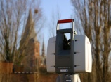
 3D Laser scanning of the Ezelpoort in Bruges
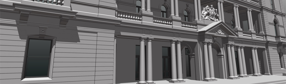 3D model of the customs office in Sydney
 3D Laser scanning off the PALL tunnel
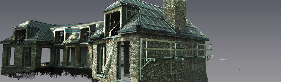 3D Laser scanning of a villa
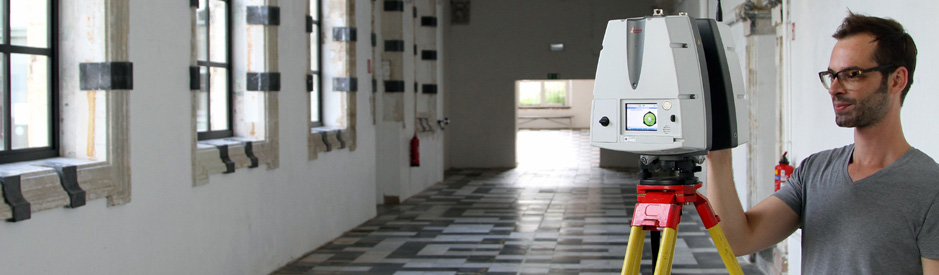 3D laserscanning of an historical building


